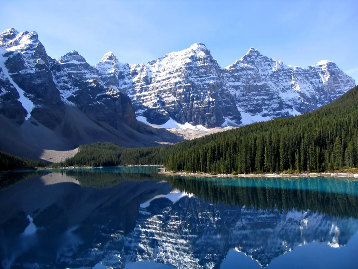
Moraine Lake at a glance
Moraine Lake lies in the Valley of the Ten Peaks in Banff National Park, Alberta. Snow and glacier meltwater feed it. A short lakeshore path, the Rockpile viewpoint and several alpine hikes start at the lake.
You cannot reach the lake in your own car. The road is closed to private vehicles, and the shuttle and licensed commercial buses run in summer. If you plan a visit, see Moraine Lake tours or read how to get there on the getting there page.
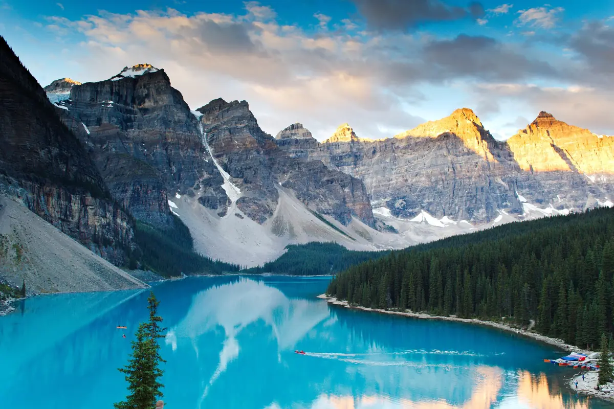
Why Moraine Lake is blue-turquoise
Meltwater, ground rock and light.
Snow and glacier meltwater carry very fine rock particles, called rock flour, into the lake. The particles stay suspended in the water and give it the blue-turquoise colour. That is the short explanation of the colour. How strong it looks on your day depends on light and sky. A grey day shows a duller lake than a sunny one, and no date guarantees the full colour.
The lake covers roughly 50 hectares, or half a square kilometre. Treat that as a rough figure. For a quick look, the Rockpile Loop is 0.7 km long and takes about 30 minutes. See the hiking guide for the other trails.
Our pick: see the Ten Peaks on a lake day
Our take: a long guided day lets you see the lake's colour and the peaks with someone to explain them.
Hand-picked tours, booked through GetYourGuide. Prices are indicative starting prices in US dollars (as of October 2026). Tap a tour for live availability and the current price in your currency.
Moraine Lake tours and shuttle trips
Day trips and sunrise departures from Banff, Calgary and Lake Louise, with live prices and availability.
The ten peaks, from east to west
The usual list of the Valley of the Ten Peaks.
| Order | Peak |
|---|---|
| 1 | Mount Fay |
| 2 | Mount Little |
| 3 | Mount Bowlen |
| 4 | Tonsa Peak |
| 5 | Mount Perren |
| 6 | Mount Allen |
| 7 | Mount Tuzo |
| 8 | Deltaform Mountain |
| 9 | Neptuak Mountain |
| 10 | Wenkchemna Peak |
Mount Temple, the big mountain nearby, is not one of the ten. You can see the wall of peaks from the lakeshore and from the Rockpile.
The lake on the Canadian twenty-dollar bill
A famous view on a banknote.
Moraine Lake appears on the back of the CAD 20 note of the 1969 to 1979 Scenes of Canada series. The series name is not the same as the issue dates. The note was first issued on 22 June 1970. A modified version came out on 17 December 1978, and its last issue date was 28 June 1993. So the series name does not tell you when the lake was on notes.
Useful numbers for your visit
Distances, times and rules in one place.
Trails at the lake
The Rockpile Loop is 0.7 km and takes about 30 minutes. The Lakeshore trail is 1.3 km one way, about 45 minutes in total. The Consolation Lakes, first lake, are 2.9 km one way and take about 2 hours. Larch Valley is 4.5 km one way, and Sentinel Pass is 5.6 km one way.
Road and shuttle
The lake lies about 14 km by road from Lake Louise village. The 2026 shuttle season ran from 1 June to 12 October. An adult fare was CAD 12.75, and online booking added CAD 3.50 per reservation. Read the shuttle page for details.
Canoes and water rules
The lake lies in a Water Preservation Zone in 2026. Your own boats, SUPs and large inflatables are not allowed, but rental canoes that stay at the lake are. The rental rate is CAD 170 plus tax per canoe for 1 hour. See the canoe page.
Wildlife
Keep at least 30 m from deer, elk, sheep and moose, and at least 100 m from bears, wolves, cougars and coyotes. Carry bear spray and know how to use it. More about animals in the Banff wildlife guide.
Facilities
There are pit toilets. Do not count on mobile reception, Wi-Fi, running water or lighting for the public. Bring water, warm layers and a light of your own if you start before dawn.
History
The name goes back to 1899. The full story, with the Indigenous context of the Bow Valley, is on the history page.
Keep reading
Next pages for your plan.
Moraine Lake history
The naming in 1899 and the early years.
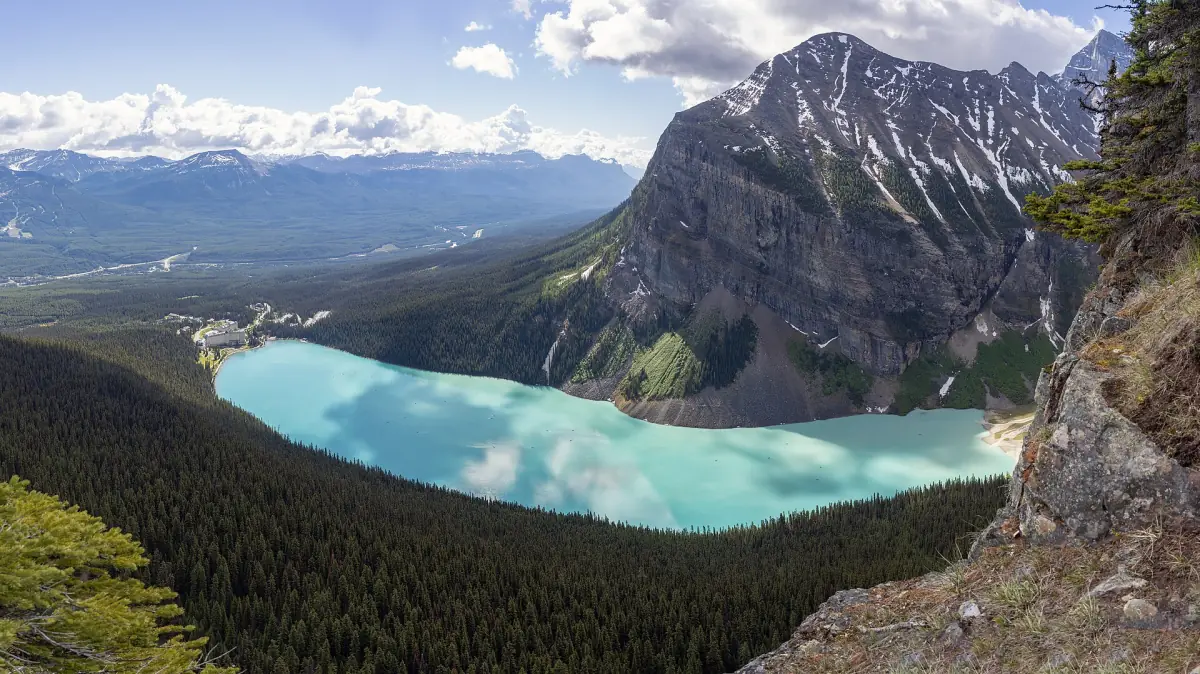
Moraine Lake vs Lake Louise
Which lake fits a short visit.
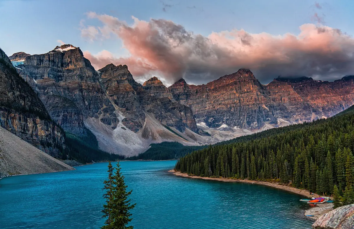
Moraine Lake sunrise
Early shuttles and planning.
For the nearby lake in detail, see Lake Louise in the Banff guide.
Moraine Lake facts: frequently asked questions
How high is Moraine Lake?
It lies near 1,900 m above sea level. Measurements give 1,884 m, 1,885 m or 1,887 m, so the safe summary is about 1,900 m.
Why is Moraine Lake blue?
Meltwater from snow and glaciers carries fine rock particles into the lake. They stay in the water and give it a blue-turquoise colour. The strength of the colour changes with light and weather.
What are the Ten Peaks?
Mount Fay, Mount Little, Mount Bowlen, Tonsa Peak, Mount Perren, Mount Allen, Mount Tuzo, Deltaform Mountain, Neptuak Mountain and Wenkchemna Peak, from east to west. Mount Temple is not one of them.
Is Moraine Lake on the Canadian twenty-dollar bill?
Yes, on the back of the CAD 20 note of the Scenes of Canada series. The first issue date was 22 June 1970, and a modified version was issued from 17 December 1978 to 28 June 1993.
Can I swim in Moraine Lake?
Swimming is allowed under the zone rules, with clean, drain, dry conditions. The water is very cold, so no safe swimming temperature can be given.
How far is Moraine Lake from Lake Louise?
About 14 km by road from Lake Louise village. The road is closed to private cars, so you travel by shuttle, commercial bus or bike.
How long is the walk along the lakeshore?
The Lakeshore trail is 1.3 km one way, with about 45 minutes in total. It is rated easy and has very little climbing.
Is this an official Moraine Lake website?
No. This is an independent guide. Check current rules and fares before you go.